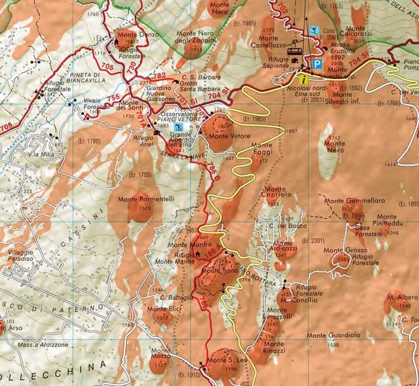
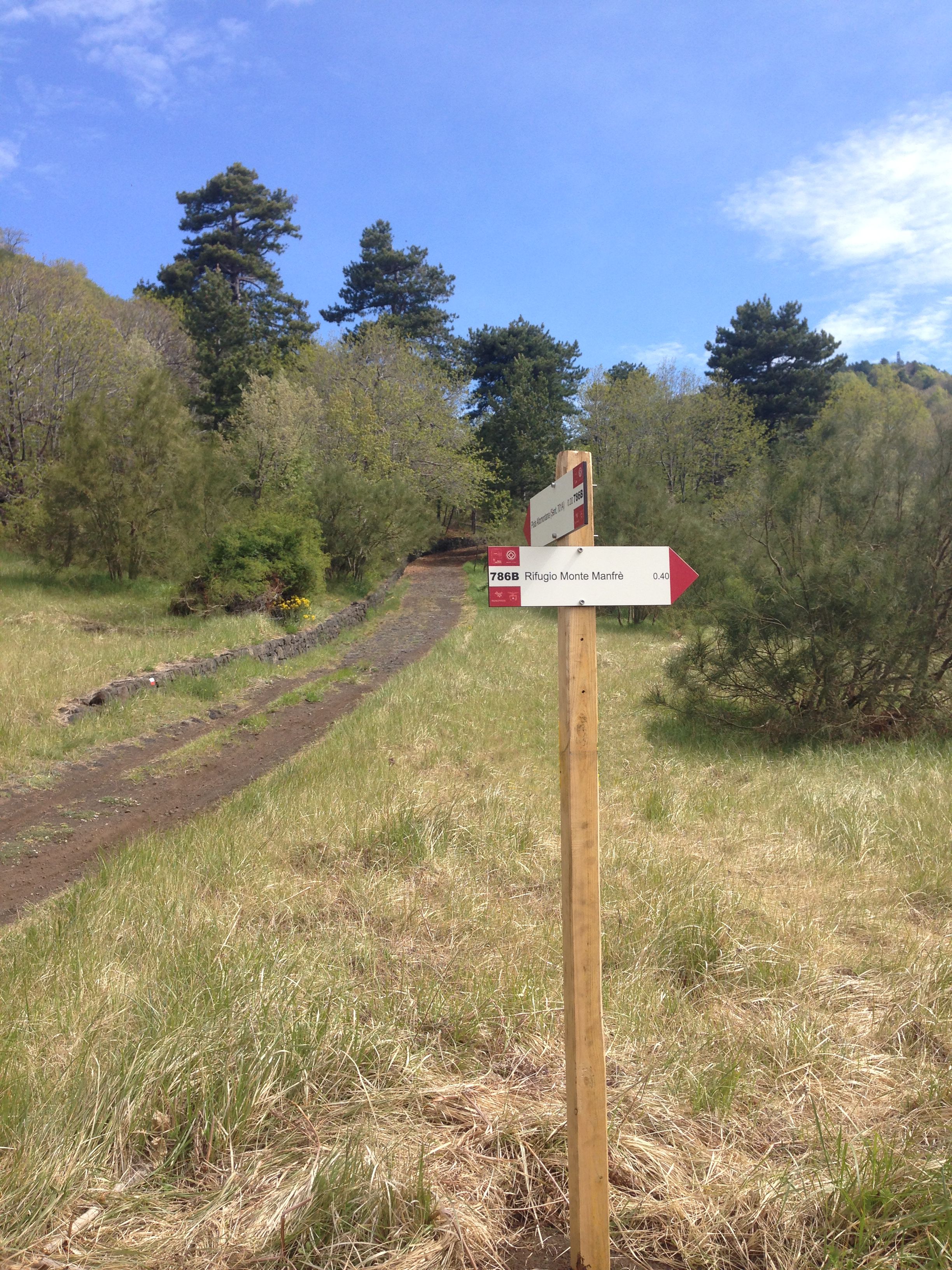
Sentiero 786B

Sentiero ![]()
Rifugio Monte Manfrè – Altomontana dell’Etna
Il Sentiero 786B, parte dal Rifugio di Monte Manfrè e percorre il primo tratto sotto un rigoglioso bosco di querce, costeggiando Monte Manfrè ad Ovest, fino a sbucare sulla SP 92. Percorrendo quest’ultima per un tratto di curva di circa 200 m la si lascia volgendo verso nord per intraprendere il tratto che attraversa uno dei bracci lavici della colata del 1983, che allora distrusse una buona parte delle contrade montane del comune di Belpasso, ricche di terreni coltivati. La colata si arrestò nei pressi della strada Milia qualche chilometro più in basso.
Percorrendo questo tratto, si sbuca su una strada pavimentata in basalto lavico, da qui si prosegue verso nord, dove il lastricato finisce ci si addentra in ripida salita dentro un fitto bosco di castagni che poi lascerà il posto ad una vegetazione mista di querce e ginestre fino a giungere ad una radura nei pressi di Monte Croce di Pietra. Qui grazie alle indicazioni della segnaletica verticale, si svolta verso nord per seguire una pista forestale che porta a Monte Serra La Nave, luogo caratterizzato da una fitta pineta. Attraversato il Parco “Etnavventura”, si prende per un sentiero in direzione ovest per giungere in poche centinaia di metri al cancello del Demanio Forestale “Filiciusa-Milia” dove si unisce il sentiero 701A, breve bretella del 701-SI (Altomontana dell’Etna) che fa parte del Sentiero Italia.
English version:
The Path 786B begins from the Shelter Mount Manfrè, and runs through a lush forest of oak trees, skirting west of Mount Manfrè, until you reach the SP 92. Along the latter, after 200 m of a curvy stretch, you turn northward to undertake the stretch that crosses one of the arms of the lava flow of 1983, which destroyed a good part of the mountainous districts of the town of Belpasso, rich of farmland. The lava flow stopped near the road “Milia”, a few kilometers further down.
Along this stretch you come out on a road paved with basalt lava, from here continue toward north, where the pavement ends and enter a steep hill that goes into a dense forest of chestnut trees and after into a mixed vegetation of oak trees and broom until you reach a clearing near Mount Croce di Pietra. Here, thanks to the road signs, turn north to follow a forest path leading to Mount Serra La Nave, a place characterized by a dense pine forest. After crossing the "Etnavventura” Park, you take a path to the west to arrive in few hundred meters to the gate of the State Forest Authority "Filiciusa-Milia" where it joins the path 701A, a short branch of the 701-SI (Etna High Trail) that is part of the Italian Trail.